This Cappadocia valleys walking guide covers four days of independent exploration from April 20 to 24, 2025: every major valley, every significant site, and the specific experiences that tour groups cannot replicate.
We arrived in Cappadocia on the evening of April 20th, after a 197 km drive from Hattusa and Yăzılıkaya.
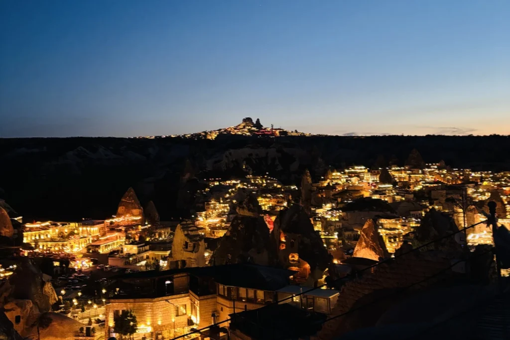
We pulled into the Göreme Panorama Viewpoint at approximately 5 PM and watched the sun sink below the fairy chimneys, turning the landscape gold and orange. Cappadocia announced itself with the best possible opening: a free view, shared with nobody else at the overlook, the specific quality of evening light on volcanic rock that makes every photograph look like it was edited.
We checked into Nomads Cave Hotel and Rooftop (11,548 LIRA / INR 23,047 / 242.07 USD for our four-night stay). The hotel’s name is descriptive in both directions: the rooms are carved into the rock face, and the rooftop, which became the most important space of the stay, faces the valley where the balloons rise every morning. Cappadocia’s prices for food are significant. We bought groceries from a local market on arrival, cooked in the room, ate Maggi we had brought from India, and reserved our budget for entry fees and one meal from a street vendor. This approach worked without exception.
“Cappadocia sat squarely in the middle of our route… a surreal visual buffer between the Hittite storm gods of Hattusa and the giant stone heads of Mount Nemrut.”
- How Cappadocia’s Landscape Was Made
- Day 2: Balloons, Open Air Museums, and the Sunset We Did Not Plan
- Day 3: Underground, Underground, and the Star Wars Mountain
- Day 4: Love Valley, the Coloured Valleys, and a Rose Valley Sunset
- What the Self-Drive Makes Possible
- What It Costs
- Before You Go
- Frequently Asked Questions
How Cappadocia’s Landscape Was Made
Cappadocia’s geology began approximately 3 to 9 million years ago, when the now-extinct volcanoes Erciyes and Hasan erupted and covered the Anatolian plateau in thick layers of tuff: a soft volcanic ash that compressed into stone. Over millions of years, water and wind eroded the tuff at different rates depending on its composition. Where harder rock capped softer material below, the cap protected the column beneath it, producing the fairy chimneys: pillars of soft tuff topped by harder volcanic stone ‘hats.’ Where the softer material eroded away completely, valleys formed.
The result is a landscape that produces different experiences in different lights. Midday light flattens the formations and shows them as grey columns. Golden hour light turns the same landscape amber, deepens the shadows between formations, and produces the photographs that make Cappadocia recognisable to people who have never visited. Both experiences belong to the same rock. The light is doing the work.
Humans have been living inside this geology for millennia. The softness of the tuff made it easy to carve. The underground cities (Kaymaklı, Derinkuyu) were originally initiated in antiquity by Phrygians and Hittites, but were massively expanded by early Christian and Byzantine communities to hide from 7th-century Arab raids. The cave churches and rock monasteries were carved by the same communities… particularly in the 10th to 13th centuries under the Byzantine Empire… producing a landscape that is simultaneously geological and human.
Day 2: Balloons, Open Air Museums, and the Sunset We Did Not Plan
The Balloons: Why You Come to the Rooftop
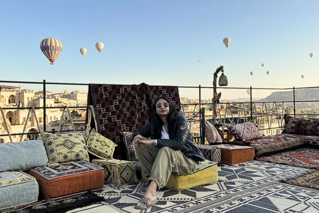
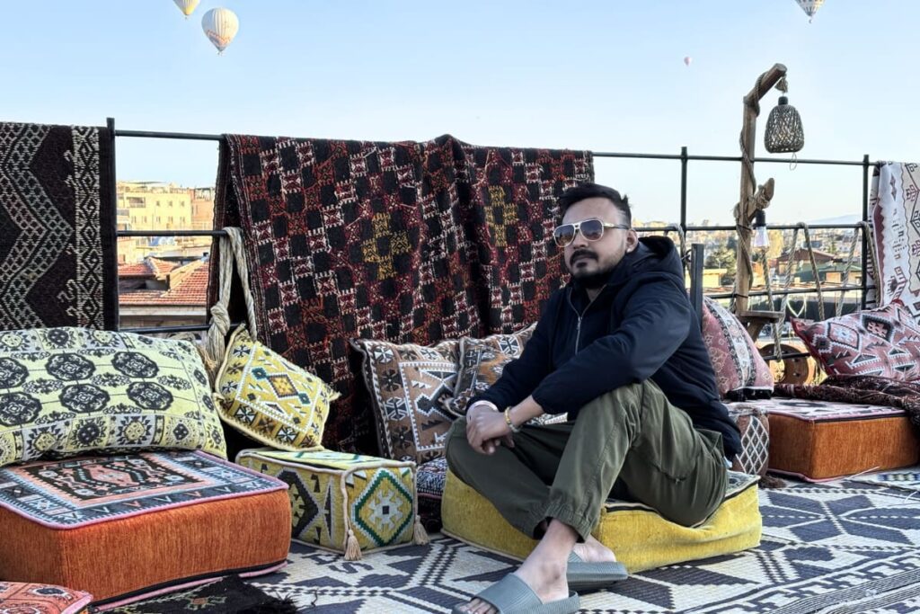
Akash had been waking up regularly and checking the sky through the window. The mornings can be overcast. The balloons do not fly in wind or rain. On one of those mornings, the sky was clear and the balloons appeared.
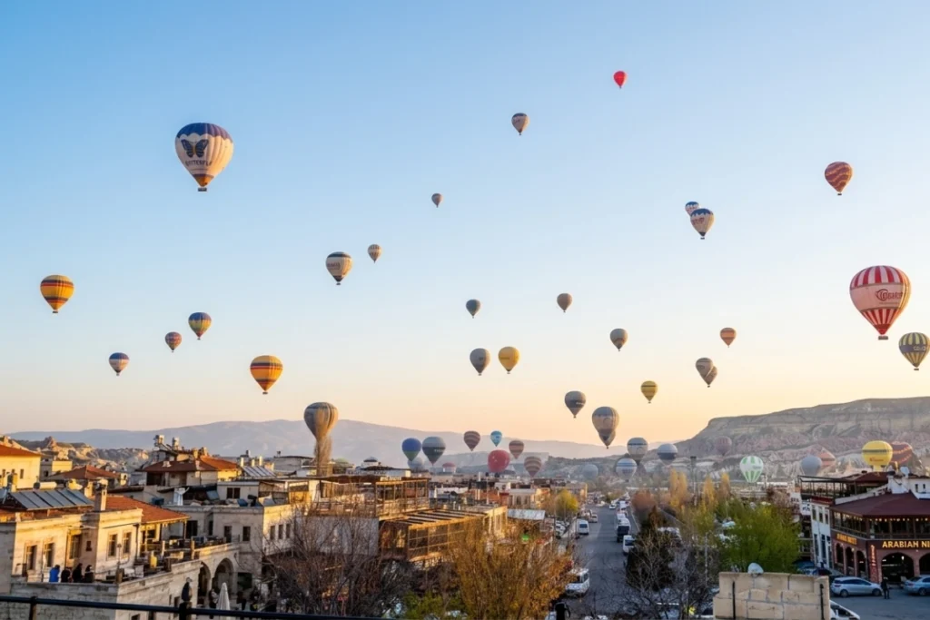
We went straight to the rooftop without freshening up. Dozens of balloons, in every colour, were drifting across the valley in the early light. The balloons rise at roughly the same time, from multiple launch points across the Cappadocian plain, and at peak they fill the sky above the fairy chimneys in a way that photographs cannot fully convey because the movement, the silence, and the altitude all work together.
We did not fly. A balloon flight in Cappadocia costs significantly more than most other activities in Turkey, and we had already taken our first-ever balloon flight over the Valley of the Kings in Egypt. We chose the rooftop view and do not regret it. The specific quality of watching dozens of balloons rise and drift in complete silence from a rooftop at 5:30 AM, without paying for a flight, belongs to a different and entirely valid category of Cappadocia experience.
“You do not need to be up in the air to feel the magic of Cappadocia at dawn; standing on a stone terrace while a hundred colourful giants drift overhead in silence is an experience all its own.”
Göreme Open Air Museum
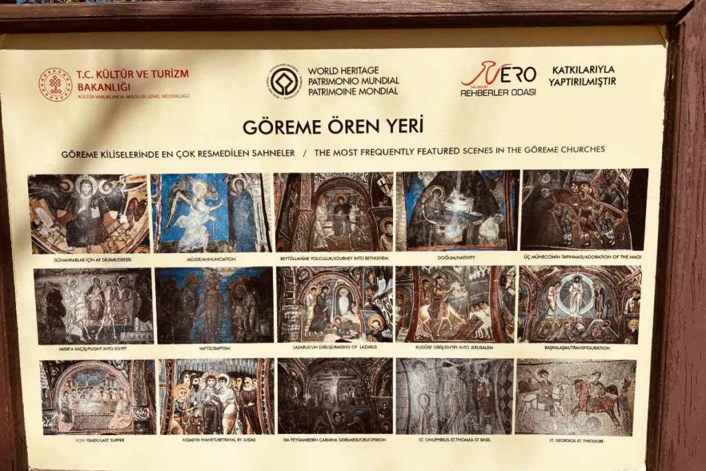
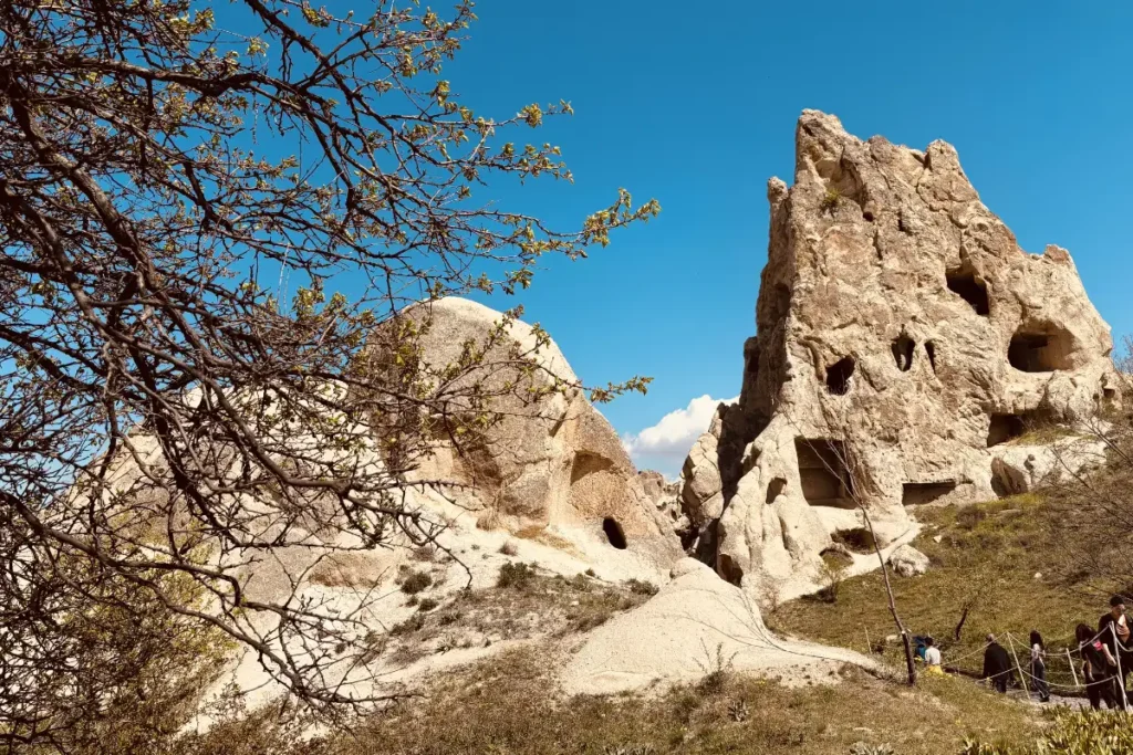
Our first site visit of the day: Göreme Open Air Museum. The complex holds Byzantine-era rock-cut churches, chapels, and monasteries carved into the volcanic formations between the 10th and 13th centuries. The churches retain their frescoes: Byzantine paintings of the life of Christ, saints, and the Last Judgement, executed in red ochre, dark blues, and greens that have survived 1,000 years in the cave environment with remarkable preservation.
The Tokali Kilise (Buckle Church), the largest church in the complex, holds the most complete fresco programme. The Karanlik Kilise (Dark Church), with minimal natural light and therefore minimal oxidation of the pigments, has the most vivid surviving colour. Both are worth the entry and the queue.
The museum is the most visited paid site in Cappadocia. Arrive early. We were there within the first hour of opening and the crowds were already building. By midday, the paths between the rock churches become congested enough to make the fresco viewing rushed.
Zelve Open Air Museum
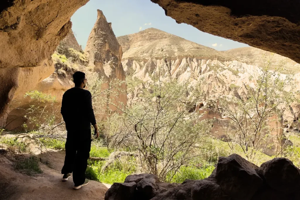
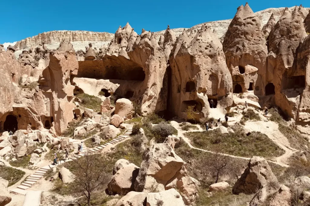
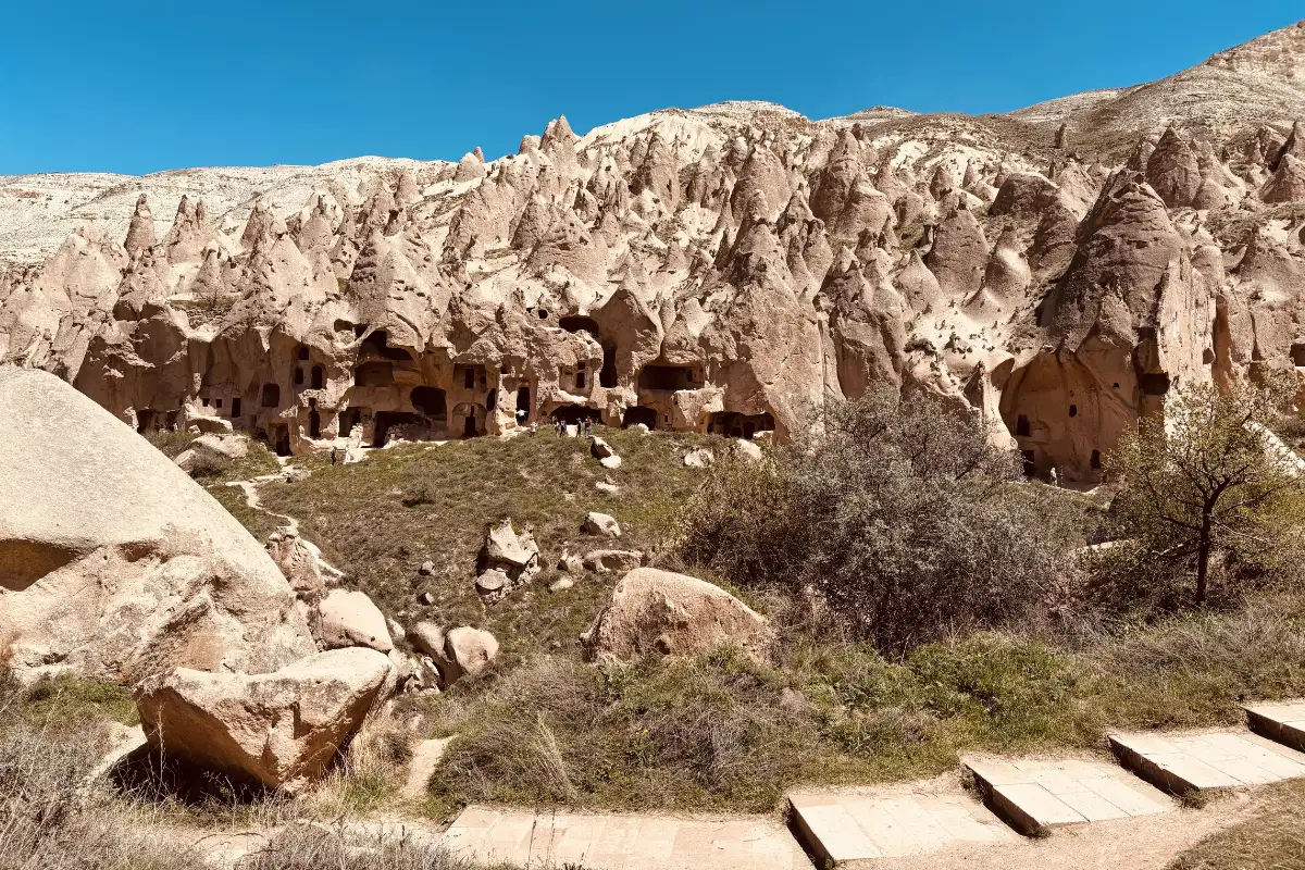
Zelve is Cappadocia’s quieter, harder alternative to Göreme. Where Göreme is primarily a preserved church complex, Zelve is an entire abandoned village spread across three valleys: houses, storerooms, kitchens with soot-blackened ceilings from centuries of cooking, dovecotes, wine presses, a mosque carved into the rock, and the connecting tunnels between valleys. People lived here continuously until 1952, when the authorities relocated the residents due to structural instability.
We explored all three valleys. Valley 1 holds the Grape Church and the Fish Church, the most decorated surviving spaces. Valley 2 holds the Column Church and the multi-storey residential cave complexes. Valley 3 holds the mosque, the agricultural spaces, and the dovecotes. The tunnel connecting Valley 2 and Valley 3 requires ducking. The soot-blackened cave kitchens are the most intimate spaces in the entire Cappadocia circuit: the traces of domestic life at a scale and immediacy that no museum display recreates.
A standard tour group, according to our estimate from watching them pass through, spent approximately one hour at Zelve. We had already been inside for ninety minutes when they arrived and were planning another hour. If you are the kind of traveler who wants to read every space rather than confirm every space, allow three hours at Zelve.
Paşabağ (Monks Valley)
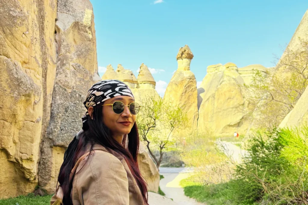
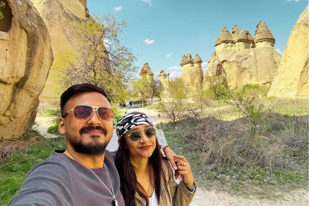
Paşabağ is smaller and requires less time but offers the most iconic of the Cappadocian fairy chimney configurations: the triple-capped chimneys, three rock hats stacked on the same column, which exist here in particularly fine examples. The cell of Saint Simeon Stylites, carved high inside one of the chimneys, is accessible via carved interior stairs and shows the monastic cells, sleeping niche, and prayer space used by Byzantine hermits who literally lived inside the rock.
We enjoyed walking between the formations and spending time inside the double and triple-capped chimneys. The scale of the formations at ground level is different from the same formations viewed from a distance: the texture of the tuff is visible, the marks of the volcanic origin are legible in the layers, and the combination of natural and human carving is clearest here.
Day 3: Underground, Underground, and the Star Wars Mountain
Kaymaklı Underground City
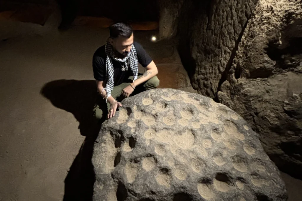
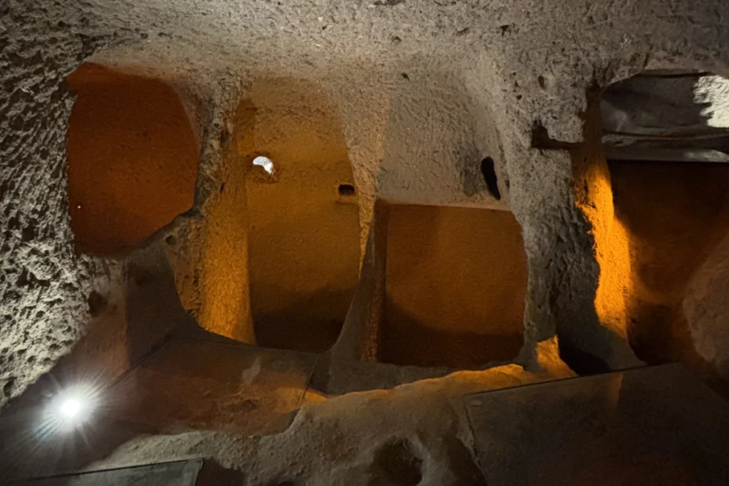
Kaymaklı is one of the largest of Cappadocia’s underground cities, excavated by Byzantine Christians from the 7th century onward as a refuge from Arab raids. The accessible levels descend approximately 20 metres underground, with narrow tunnels connecting rooms designed for specific purposes: stables, wine and oil presses, a church, storage rooms, and residential spaces.
The practical details that make Kaymaklı particularly vivid are the security features. The tunnel diameters are narrow enough that only one person can pass at a time, which meant that attackers could not enter in formation. The millstone doors… massive circular stone wheels, each weighing several tonnes, positioned at tunnel junctions… could be rolled from the inside to seal a passage, with a small central hole allowing the defenders to push a spear through while the attackers could not push anything back. Engineering designed for survival at a scale and precision that the word ‘underground city’ does not convey until you are crawling through it.
The tunnels are genuinely narrow. If you have any degree of claustrophobia, the lower levels of Kaymaklı will test it. We did not. The specific experience of being 20 metres underground in a carved tunnel, in a space that was designed to keep people alive during raids, carries a weight that is difficult to produce at surface level.
Ihlara Valley: From Above
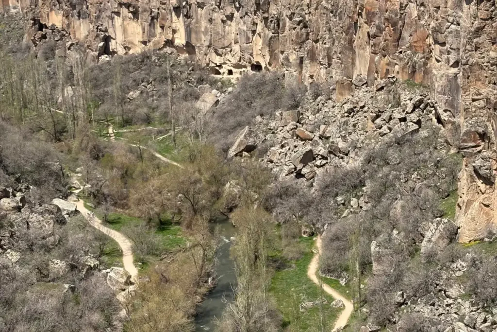
We drove to Ihlara Valley and looked at it from the overlook above the canyon.
We did not hike down.
The reasoning was practical. We had a rental car. Hiking down to the valley floor meant hiking back up the same steps in the midday heat to return to the car park. With a full afternoon ahead including Selime, Narlıgöl, and Uçhisar, the canyon hike would have consumed the time those three required.
From above, the Ihlara Valley is impressive: the canyon drops steeply to the Melendiz River below, the canyon walls carry the cave churches and monasteries that make the hike significant, and the scale of the geological cut through the Anatolian plateau is readable from the rim. If you have a tour group that drops you at one end and collects you at the other, the Ihlara hike is straightforward and worth doing. If you have your own car, plan the logistics before committing.
Selime Monastery: The Star Wars Location
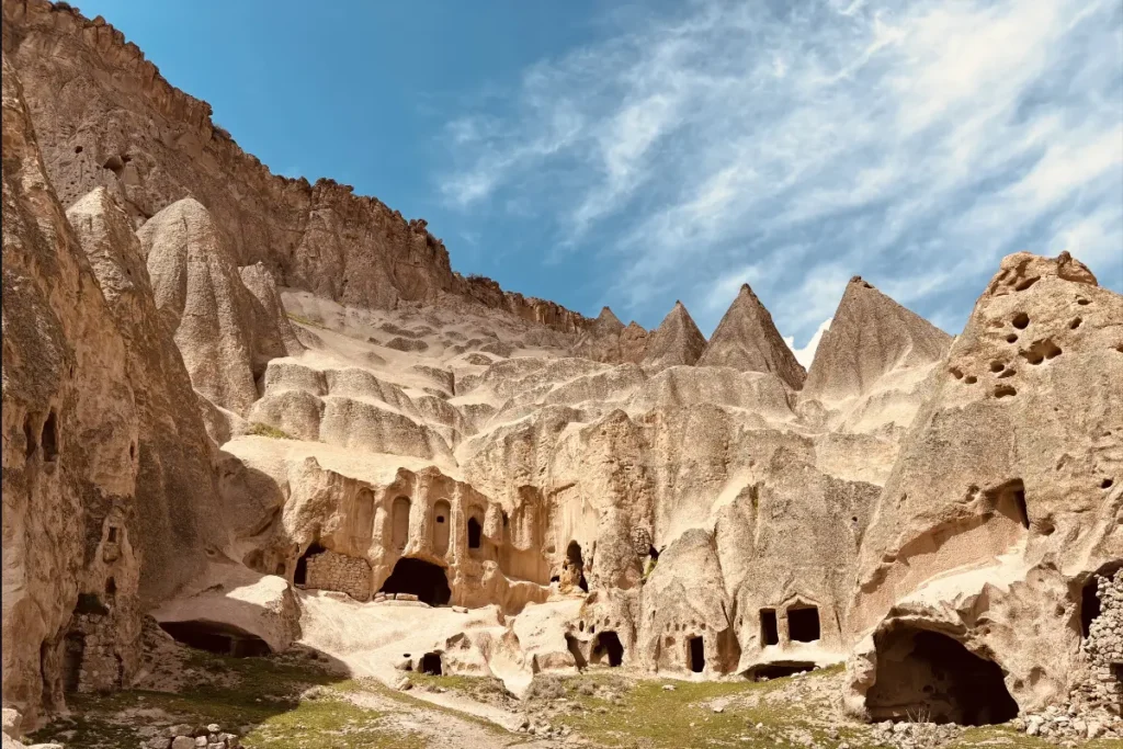
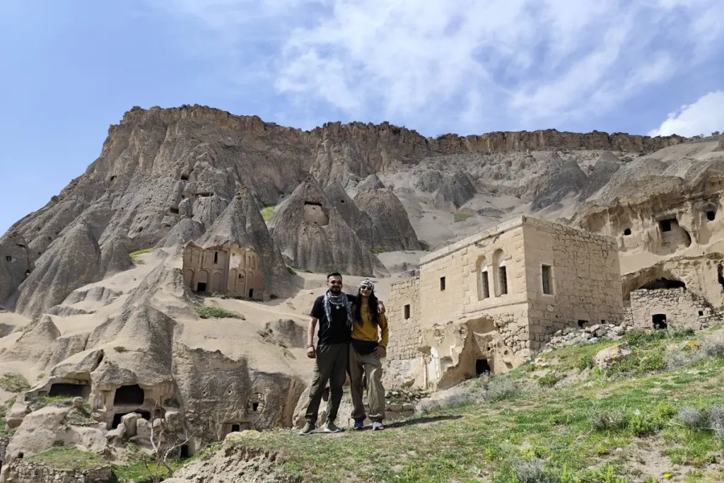
A local villager at the Ihlara Valley entrance offered to guide us to the Star Wars filming locations for 700 Lira.
We said yes. It was the correct decision.
The Selime Monastery is a massive cave complex carved into the volcanic rock cliffs above the Ihlara Valley. Selime Monastery and the surrounding landscape look so uncannily alien that George Lucas originally scouted them to represent Tatooine in Star Wars. While filming ultimately moved to Tunisia, local guides still refer to these formations as the ‘Star Wars rocks’… and standing among them, it’s easy to see why. The formations here have a quality that the other Cappadocia valleys do not: they look like science fiction. Not like Earth.
Our guide took us through ancient cave dwellings and hidden churches that are not on the main tourist path, leading us through the backside of the monastery complex to the formations where the film crew worked. The knowledge of a local, applied to a landscape he had grown up inside, produced an experience that the official tourist path does not offer. 700 Lira for a guide who has spent his life in these rocks is a different calculation from 700 Lira for a standard tour.
Narlıgöl Crater Lake
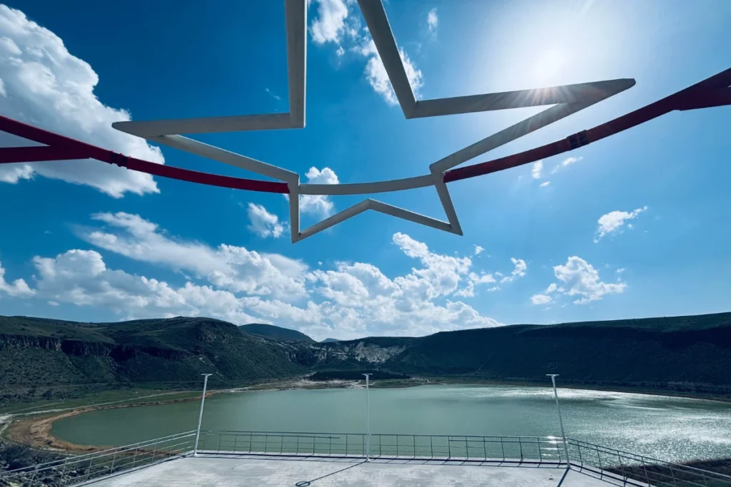
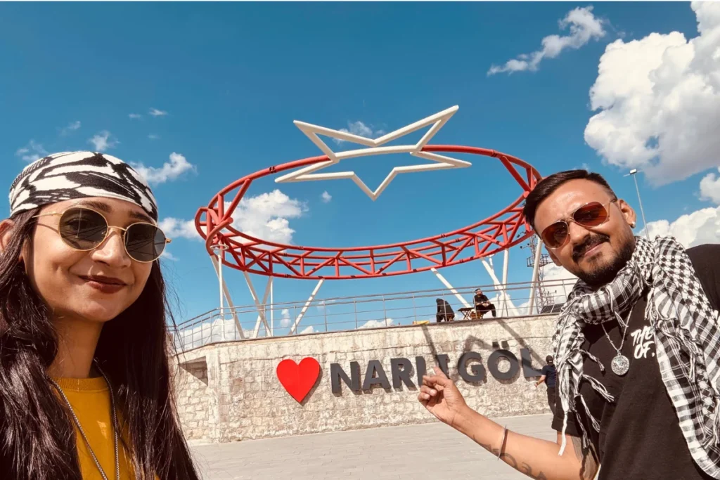
A short detour from the Selime-to-Uçhisar route: Narlıgöl, a volcanic crater lake. The water is calm and clear. The crater rim drops away to the lake surface below. After the compressed intensity of Kaymaklı, Ihlara, and Selime, the silence at Narlıgöl was exactly the decompression the afternoon required.
We also attempted the Acıgöl mountain road in search of snow. The GPS routed us instead into a quiet farming village where life was happening at a pace entirely unrelated to tourism. We got out of the car, absorbed the atmosphere, and drove back. This is the specific category of experience that a rental car makes possible and a tour group never reaches: the wrong turn that leads somewhere the itinerary did not include, which turns out to be more interesting than the destination you were aiming for.
Uçhisar Castle: The Bollywood Angle
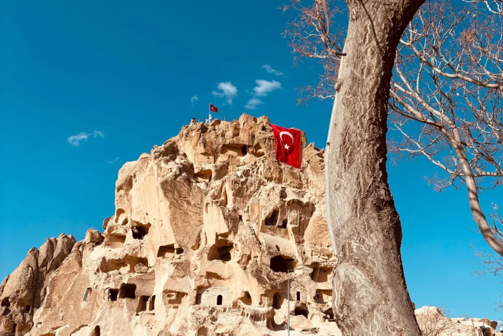
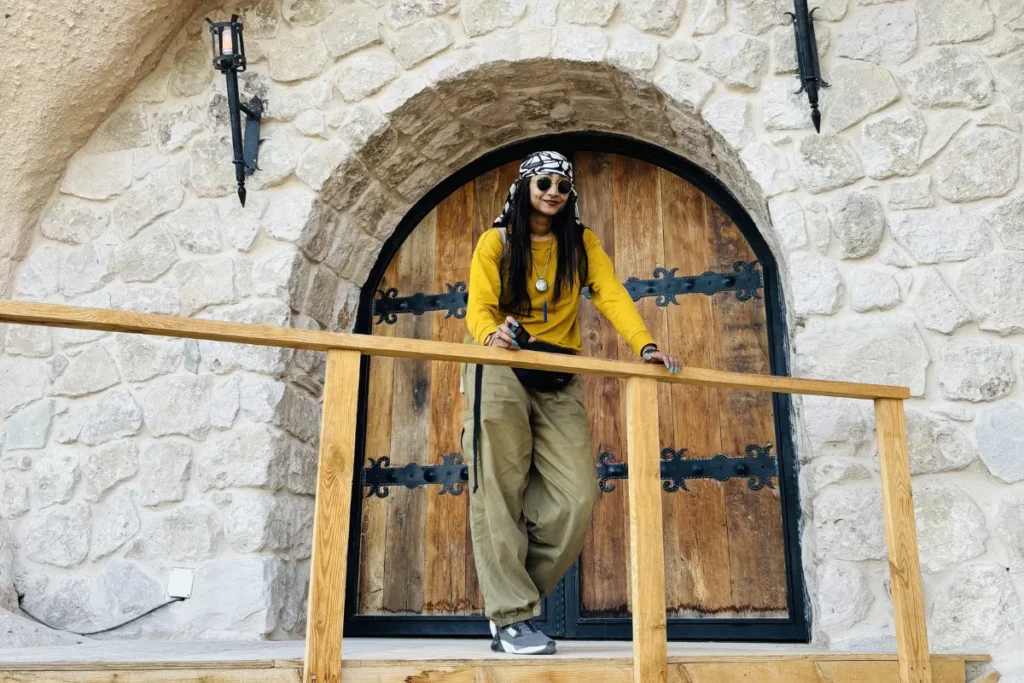
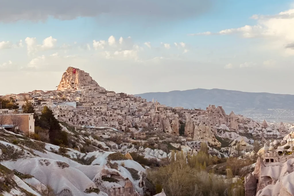
Uçhisar Castle is the highest point in Cappadocia: a massive natural rock formation carved into a fortress, with 360-degree views over the entire Cappadocian plain. Entry: 640 Lira for two.
For Indian visitors, Uçhisar carries an additional layer. Tiger 3, the Salman Khan and Katrina Kaif action film, filmed the sequence featuring ‘Leke Prabhu Ka Naam’ at Uçhisar Castle. The film also used Love Valley and Paşabağ in its Cappadocia sequence. Standing at the top of Uçhisar Castle knowing this, while simultaneously looking at the extraordinary view that earned the filming location, produces a specifically Indian kind of travel experience: where something known from a screen resolves into a place that is larger and stranger than any screen suggested.
We had admired Uçhisar’s jagged silhouette the previous day from the Göreme sunset viewpoint. Standing on it the next day produced the specific satisfaction of having seen something from a distance and then arrived inside it.
“From Göreme, Uçhisar looks like a mythical stone fortress guarding the horizon; from its peak, the entire region unfurls beneath you like an open map.”
Day 4: Love Valley, the Coloured Valleys, and a Rose Valley Sunset
Love Valley: Both Top and Floor
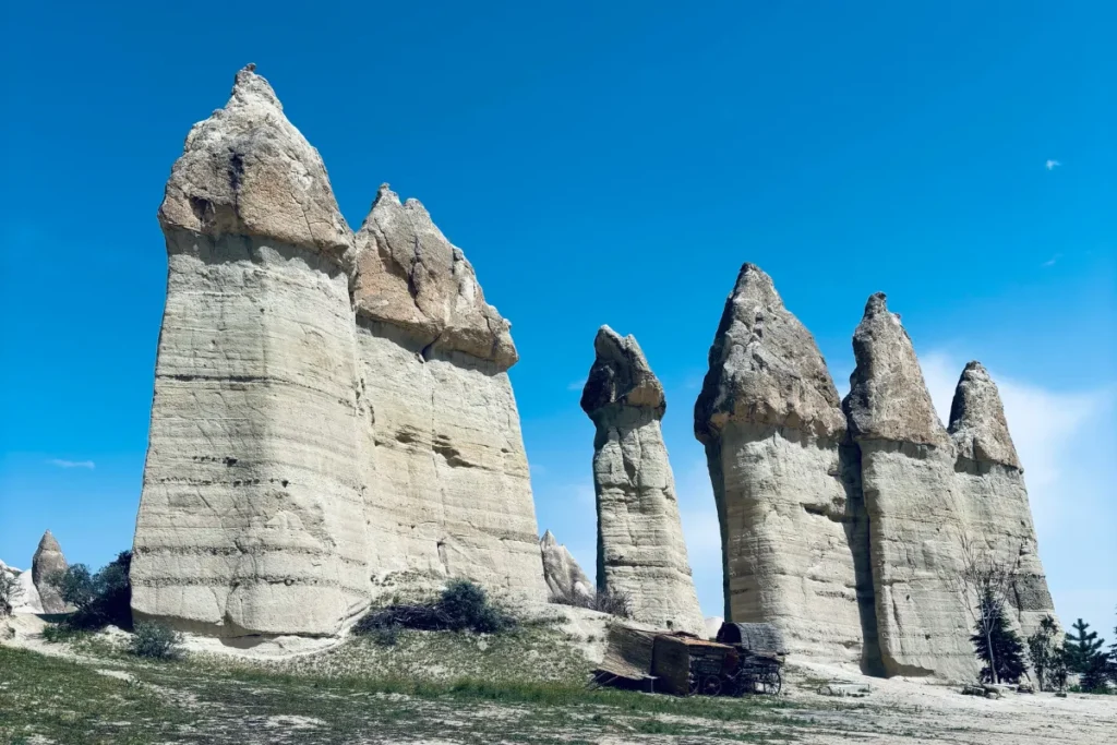
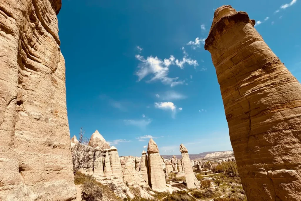
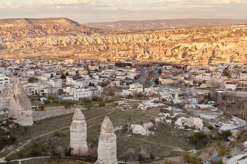
Love Valley is named for reasons that are immediately obvious from any photograph. The fairy chimneys here have formed in a configuration that is unambiguous in its suggestion, which accounts for both the name and the persistent popularity with visitors seeking a different kind of landscape photograph.
We found two separate routes: the overlook path at the rim and a trail that descends to the valley floor between the formations. We walked both. The view from the rim gives scale… you see the valley as a composition, the chimneys rising from the floor, the plateau around them. The view from the floor gives texture… you are between the chimneys, looking up, the sky visible in a narrow strip above.
Both are worth doing. The descent to the floor adds approximately 30 to 45 minutes but produces a completely different quality of presence inside the landscape. Most visitors stand at the rim. Going to the floor is where the valley stops being a view and starts being an environment.
Çavusin
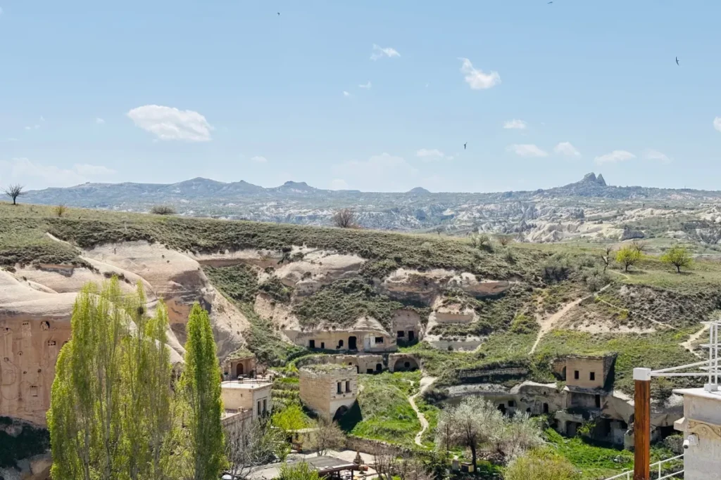
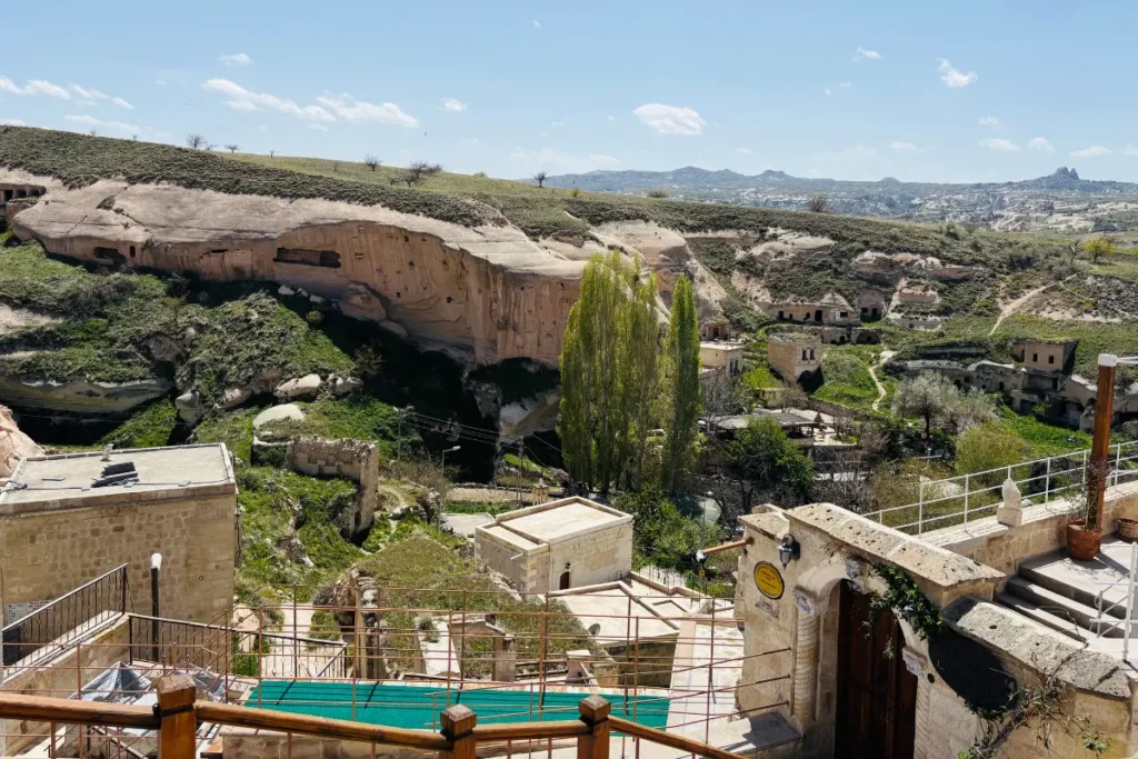
Çavusin is an abandoned village of rock-cut houses on a cliff face above the road between Göreme and Love Valley. The village was evacuated after a cliff collapse in 1964. The cave houses remain… doorways, window openings, interior rooms visible from the road, the occasional remnant of a domestic object… and the 5th-century cave church at the top of the cliff (one of the oldest Christian churches in Cappadocia) is accessible via a path.
Çavusin is not on every tourist map. It is on the road you drive anyway. Stop.
Red Valley
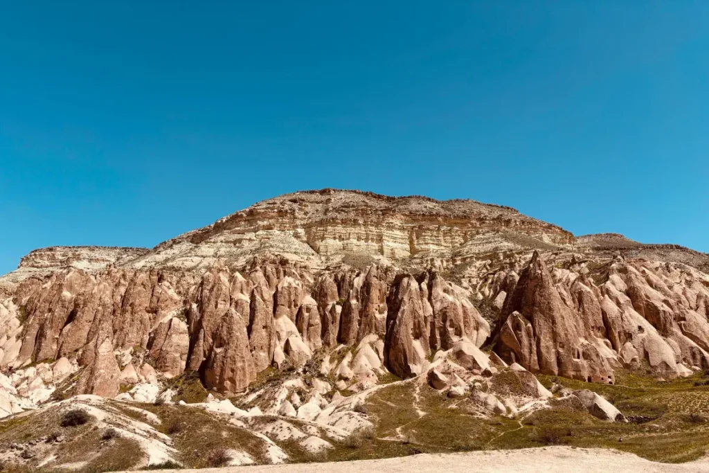
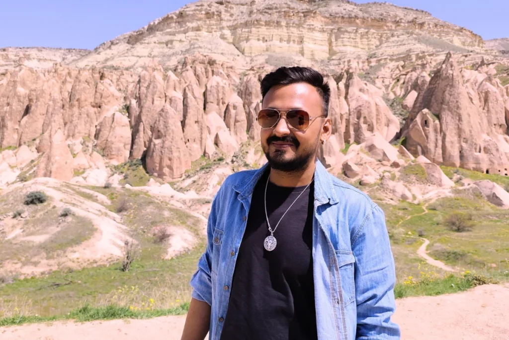
Red Valley, immediately south of Göreme, gets its name from the iron oxide in the volcanic rock that turns the cliff faces dark red in certain light. The valley holds several rock-cut chapels and cave churches from the Byzantine period, some with surviving fresco fragments. The trail through the valley takes approximately 45 to 90 minutes depending on pace and how many of the cave churches you enter.
Red Valley is best walked in the late afternoon when the iron oxide reads deepest and the shadows between the formations lengthen. We timed this correctly by accident. We had not planned the light. We arrived and the light was doing exactly what Red Valley is known for doing.
Pigeon Valley
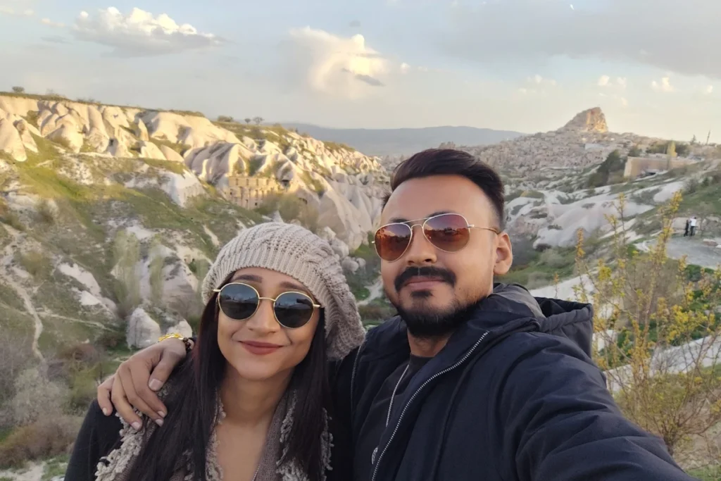
Pigeon Valley connects Uçhisar to Göreme on foot or by car. The valley takes its name from the thousands of pigeon houses carved into the rock faces… Byzantine communities kept pigeons for their eggs, meat, and most importantly, their droppings, which were the primary fertiliser for the volcanic soil vineyards. The droppings are still collected in some pigeon houses today.
Walking Pigeon Valley in the morning is the alternative to the overlook. The trail passes through the valley at rock level, with the pigeon house cliffs rising on both sides. It connects two sites that most visitors drive between. Walk it instead.
Rose Valley Sunset
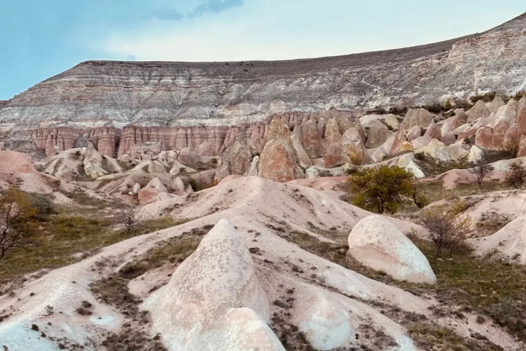
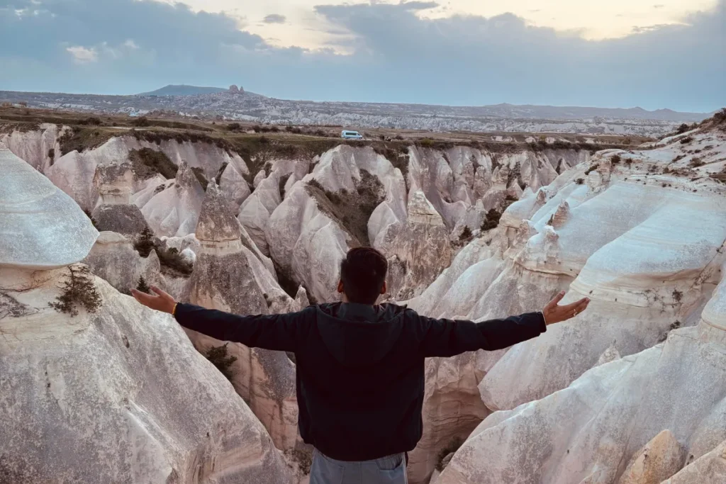
The final sunset of our Cappadocia stay was at Rose Valley. Rose Valley features a softer palette than neighbouring Red Valley, shifting through delicate pinks and ambers as the sun drops towards the horizon.
Rose Valley sunset is a specific Cappadocia experience: the valley floor is accessible via a trail from the Sunset Point above Göreme, the formations glow progressively warmer as the sun drops, and the landscape shifts through orange, rose, and gold before going blue in the dusk. We sat on the rock above the valley and watched it happen. Below us, other visitors were walking the trail. Above us, the sky was clear.
This was the correct last evening in Cappadocia. Not because it was planned as such. Because Cappadocia accumulates across four days, and the final sunset produced the feeling that the landscape had been showing us different versions of itself all week, and Rose Valley was the version it chose to close with.
What the Self-Drive Makes Possible
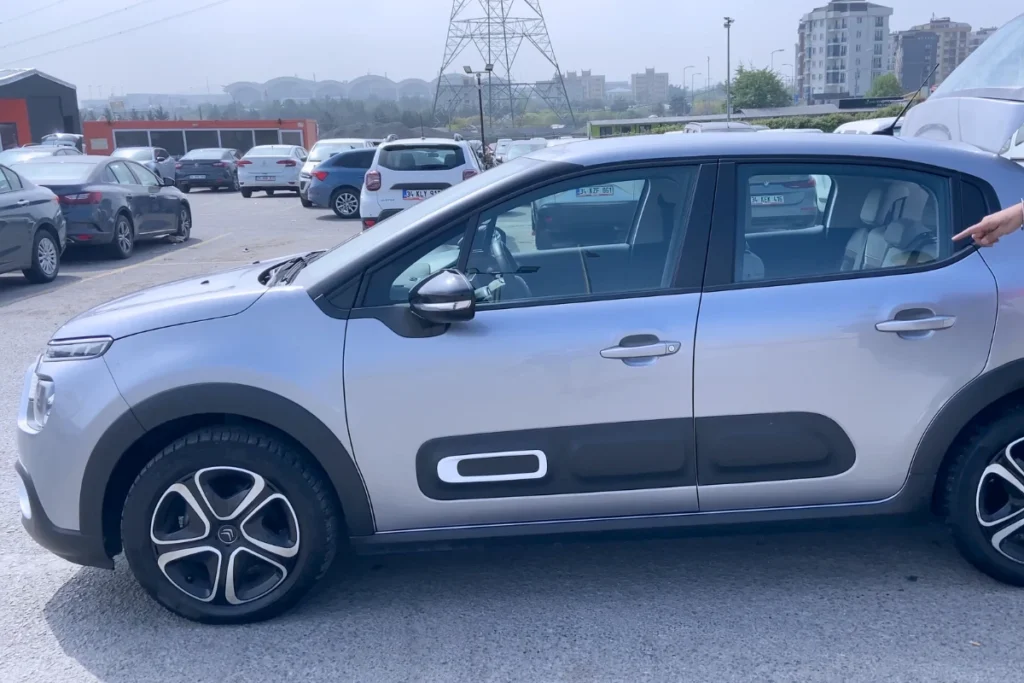
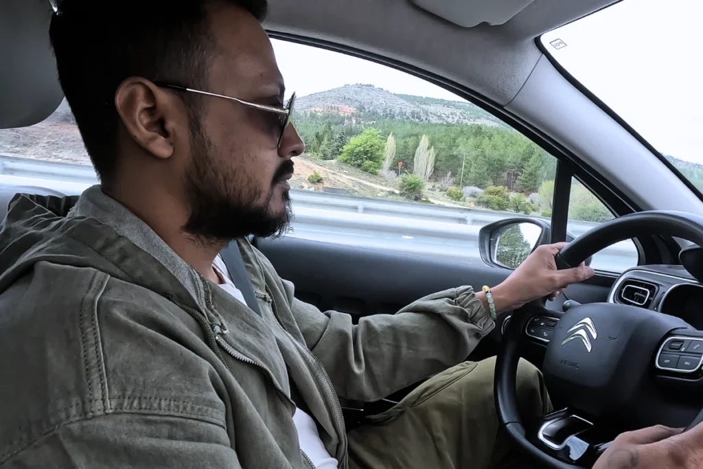
We are explicit about this because the difference between our experience and a standard Cappadocia tour group experience was entirely the result of having our own car.
A tour group schedule: arrive at the site, walk the main path, photograph the main formations, reboard the bus, continue to the next site. The schedule works. It covers the checklist. It does not cover Zelve’s second and third valleys, the floor of Love Valley, the abandoned farming village reached by wrong turn, the pre-dawn rooftop for the balloons, or the local guide at Ihlara who leads you through the Star Wars rocks.
None of those experiences cost more than a tour group. They cost the decision to drive independently and the willingness to stop when something is worth stopping for, stay when something is worth staying longer, and turn around when the wrong turn has turned out to be interesting.
Cappadocia is one of the most toured destinations in Turkey. The tour group experience of Cappadocia is fully functional. The independent experience is a different country.
What It Costs
| Item | Cost (April 2025) |
| Nomads Cave Hotel & Rooftop, 4 nights (two people) | 10,020 Lira / INR 23,047 / 282 USD |
| Göreme Open Air Museum (two people) | 1,420 Lira / INR 3,266 / 40 USD |
| Zelve Open Air Museum (two people) | 925 Lira / INR 2,128 / 26 USD |
| Kaymaklı Underground City (two people) | 925 Lira / INR 2,128 / 26 USD |
| Uçhisar Castle (two people) | 640 Lira / INR 1,472 / 18 USD |
| Selime guide fee | 700 Lira / INR 1,610 / 20 USD |
| Göreme Panorama Viewpoint | Free |
| Rose Valley, Red Valley, Love Valley, Pigeon Valley | Free (trail access) |
| Narlıgöl Crater Lake | Free |
| Food (4 days): market groceries, room cooking, Maggi | Minimal… avoided tourist restaurants mostly |
The valleys… Love, Red, Rose, Pigeon, and Ihlara overlook… are free. The paid sites (Göreme Open Air Museum, Zelve, Kaymaklı, Uçhisar) carry entry fees that are higher than most Indian heritage sites but lower than comparable European museums. The Selime guide at 700 Lira was the best-value expenditure of the four days.
Before You Go
- Rent a car. This is the single most important practical decision for Cappadocia. Göreme is accessible without a car; everything else requires either a car, a tour, or a taxi. The independent experience requires a car.
- The Göreme Panorama Viewpoint is the correct arrival experience. Drive there first, before checking in. The sunset on arrival produces a specific Cappadocia orientation that no photograph prepared us for.
- For the balloon view, the hotel rooftop is the free and excellent alternative to a flight. The balloons rise before 6 AM. Set the alarm. Go to the rooftop before freshening up.
- Arrive at Göreme Open Air Museum at opening time. The crowds build quickly. The fresco experience is significantly better in a less congested space.
- Give Zelve three hours, not one. Three valleys, each with distinct character. The soot-blackened kitchens and the connecting tunnel are not on the main tour path and require time to find.
- At Kaymaklı, do not skip the lower levels. The millstone doors and the narrowest tunnels are below. The experience of the underground city is in the lower levels, not the entrance area.
- For Ihlara Valley, factor in round-trip walking time if you are self-driving, as you must return to the same parking lot at the rim.
- At Selime Monastery, hire a local guide at the entrance. They can take you off the standard concrete paths and through the hidden backside routes where the film crews worked.
- Love Valley floor: find the trail that descends from the rim to the valley floor. Most people only visit the rim. The floor produces a different and more immersive experience.
- Rose Valley sunset: this is the correct closing experience for Cappadocia. Time your final afternoon at Rose Valley for the two hours before sunset.
“Cappadocia is not a landscape you simply look at… it is a landscape you move through, climb into, and sleep inside. A tour bus might show you its contours on a schedule, but a rental car lets you discover its quietest moments on your own terms.”